A single walk can begin in one of the municipality’s villages, continue along an old, cobbled path and lead to a pine forest or a landscape shaped by volcanic activity. Hiking in Santiago del Teide reveals how the terrain changes with every step.
A network of approximately 60 kilometres of trails connects different villages and provides access to protected areas such as Teno Rural Park and the Chinyero Special Nature Reserve.
With cooler temperatures, autumn is a good time to explore Santiago del Teide on foot. From short walks to routes requiring several hours of hiking, there are options for spending part of the day or a full day discovering its natural areas.
A network connecting the municipality
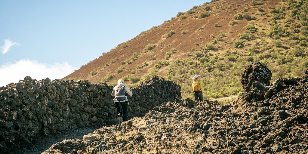
The PR-TF 65 forms the main route within this network. Together with its branches and connecting trails, it links the higher areas of the municipality with the coast and passes through several of its villages. Part of the route follows the old Camino Real, used for generations to travel between settlements and exchange products such as fish, potatoes, almonds and figs.
Walking these sections today reveals old, cobbled surfaces, stone walls, threshing floors and other features associated with rural life. They are reminders of a time when these paths were essential to the work and everyday lives of residents.
Rural history, vegetation and volcanoes
The network includes routes leading towards the Teno massif as well as others crossing the volcanic terrain around Chinyero. The following three options range from a short walk to a longer day’s hike.
The PR-TF 65.3, from El Molledo to Degollada del Roque, covers 2.1 kilometres and leads to the upper reaches of Barranco Seco. From there, hikers can take in the rugged terrain of the Teno massif and the distinctive outline of Risco Blanco. It is a suitable option for those looking for a shorter route, although the return journey or connection with other trails should be considered when planning the walk.
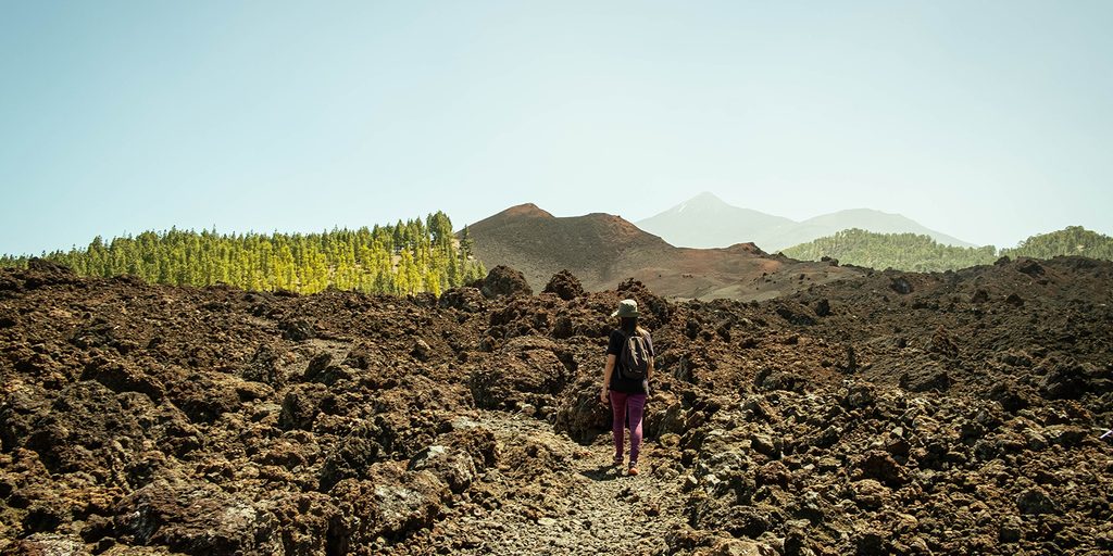
The 6.44-kilometre circular route around Chinyero, which takes approximately two and a half hours, crosses a very different landscape. The trail circles the volcanic cone among Canary Island pines and rugged lava fields, where vegetation has gradually reclaimed the terrain since the 1909 eruption—the most recent recorded in Tenerife. On clear days, views of Mount Teide and Pico Viejo add to the contrasts between the lava and the pine forest. The route offers a close look at the traces of an eruption that, in geological terms, occurred only recently.
For a longer and more demanding hike, the 7.5-kilometre PR-TF 65.4 connects Valle de Arriba with Arguayo and takes an estimated three hours and forty minutes. The route passes through Calvario de Los Baldíos and crosses Chinyero lava fields, areas of pine and Canary broom, and land traditionally used for agriculture. Reaching Arguayo provides an opportunity to complete the day in a village where the municipality’s pottery tradition is still preserved.
Plan your route
Choosing a trail is also the first step in understanding what the walk will involve. Its distance, elevation profile and finishing point help to shape the day and determine which route is best suited to the time available and each person’s level of preparation. Before setting out, check the weather forecast and any access restrictions, and plan the return journey if the route ends in a different village.
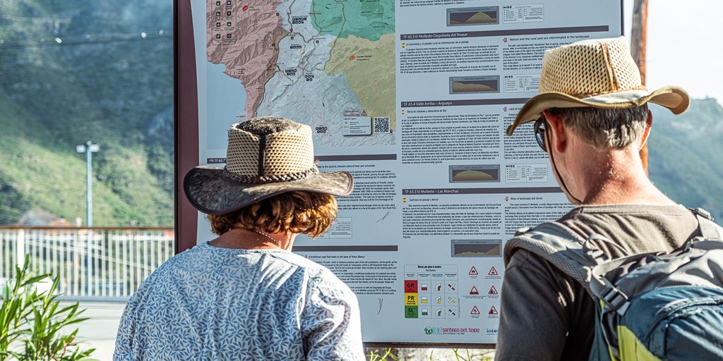
Changes in the landscape may also bring variations in temperature and sections that are more exposed to the sun or wind. Suitable footwear and a backpack containing water, some food, sun protection and a warm layer will make the walk more comfortable. Allowing enough time and considering the available daylight also leaves room to pause and observe the surroundings.
These trails cross natural areas but also places that form part of everyday life in the villages. Following the marked route, respecting crops and stone walls, avoiding disturbance to wildlife and taking all waste away are ways of caring for this shared heritage. In volcanic areas, leaving stones and vegetation where they are helps to preserve the landscape that brought us there.
Visit the Hiking section of our website for further information about the trails, so you can plan your next outing and continue exploring the municipality on foot.